Precision Work-Area Visualization
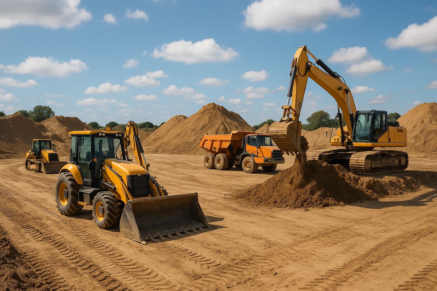
Perfect for agriculture, construction, and landscaping. Our Covered Area tool uses Google Maps overlays to calculate exactly where your equipment has operated, providing precise measurements in multiple units.
Key Benefits
What your team gets from using Coverage Analytics (Covered Area) every day.
How It Works
A clear sequence from setup to everyday fleet decisions.
Define Area
Select the time range and vehicle for analysis.
Generate Overlay
System plots the movement path as a solid coverage layer.
Calculate Size
AI computes the total area covered by the equipment.
Export Results
Use the visuals and measurements for billing or reporting.
Common Use Cases
Typical day-to-day scenarios where this feature adds value.
Compatible GPS Trackers
Hardware that works seamlessly with Coverage Analytics (Covered Area)
Related Features
Complementary tools that work well with Coverage Analytics (Covered Area).
Track your fleet across Sri Lanka and beyond.
Get real-time visibility, route history, and instant alerts with Fleeticc's GPS tracking platform.